






The next Project Hessdalen field expedition is currently being planned for end of August, first week of September 2027.
The aim is quite simple: we want to take a much closer look at the Hessdalen environment itself and collect as much useful, comparable data as possible.
Rather than starting with a preferred explanation for the phenomenon, we want to investigate the environment and see what the data actually tells us.
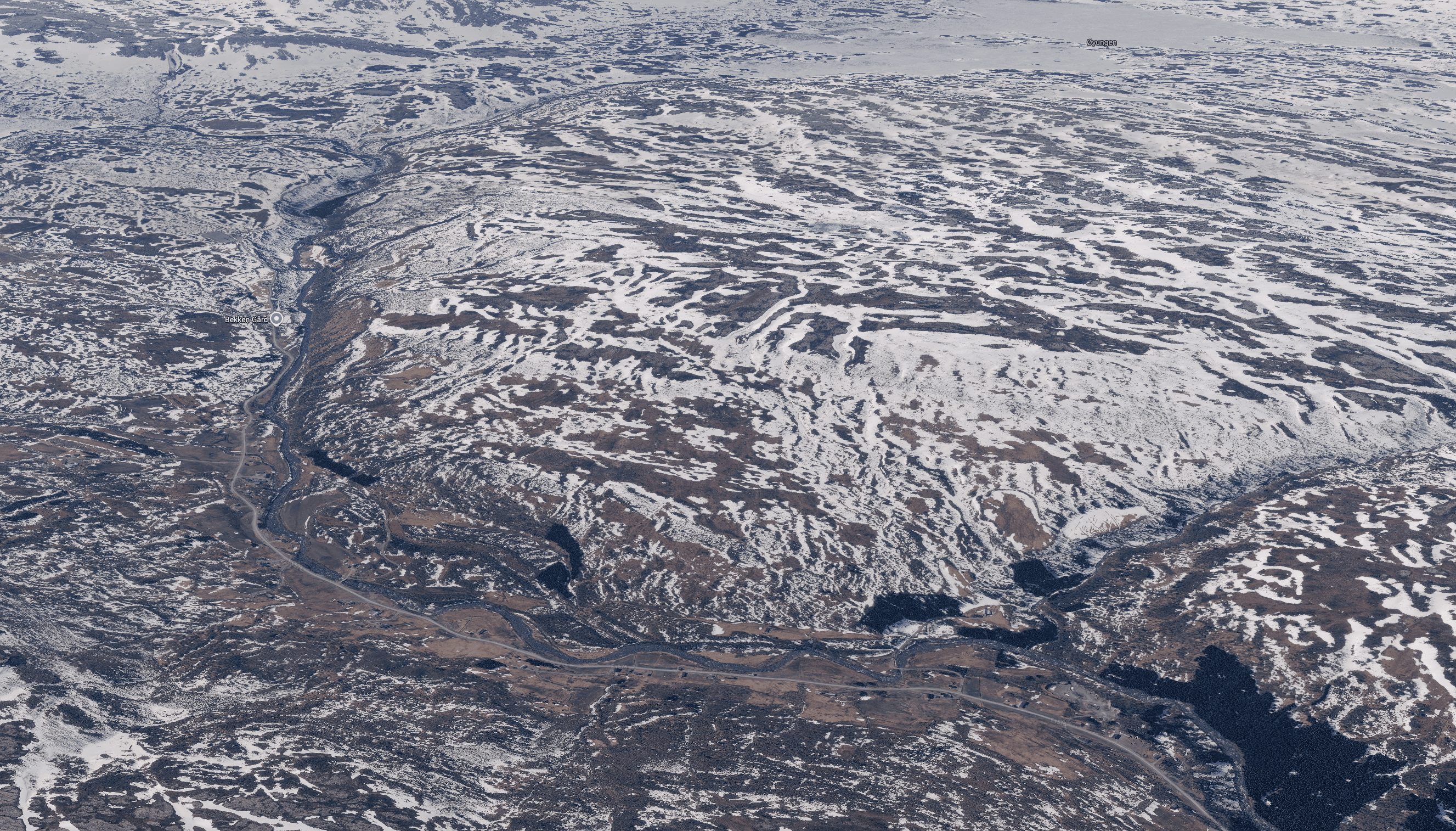
One of the main parts of the planned field work is to map the Hessdalen area using LiDAR and GPR, combined with other environmental and geophysical measurements. We want to investigate whether there are subsurface structures associated with reported observation hotspots, whether environmental conditions can explain or exclude certain observations, and whether the terrain itself plays a role in where phenomena are reported.
The basic idea is not to go to Hessdalen and look for something spectacular, but to go there and measure.
What we want to do
The planned field work will include, where practical:
- LiDAR and other remote sensing techniques to map the terrain
- GPR surveys of selected areas
- thermal imaging
- background radiation measurements
- geological and soil-related observations
- detailed weather and environmental measurements
- additional measurements depending on the experts and equipment available
The intention is to combine these datasets afterwards rather than looking at every measurement in isolation.
The expected result would be a terrain model, subsurface maps, combined datasets and, ultimately, a report or presentation containing the collected data and our findings. Data ownership will remain with Project Hessdalen.
We are interested in technology and we are very happy to work with companies that want to provide equipment or expertise. But the equipment should serve the investigation, not dictate what we investigate. The research team will define the questions, measurement priorities and methodology.
Experts and technical support
We are already considering several experts who could contribute to the field work.
Pete Kelsey is planned as our LiDAR/drone specialist, while Dr. Jan Francke would contribute his expertise in GPR. We will also need to consider additional expertise, depending on the final scope of the investigation, including geology, meteorology, atmospheric science and or other fields if possible. There will also be a practical side to this. A field expedition in Hessdalen means dealing with weather, terrain, power requirements, transport, equipment protection and data storage. We therefore want to build a setup that allows us not only to collect data, but also to preserve and review it properly while we are still in the field. This includes temporary working space at the location and suitable power and backup systems.